- Carlon Falls
- Shaver Lake
- Carson Pass
- El Capitan
- Preston Castle
- Silver Lake
- Tuolumne River
- Best Wineries in the Shenandoah Valley of Amador
- Sierra Marina
- Mirror Lake
- Blues Festival
- Lake Thomas A. Edison
- Nevada Fall
- Winery in Amador County
- Stanislaus National Forest
- Clearlake
- Rancheria Falls
- Half Dome in Yosemite
- Sutter Creek
- California Gold Rush History
- Brassfield Estate Winery
- Sierra National Forest
- Tourist Attractions in CA
- Mount Konocti
- Tourist Attractions in Yosemite
- El Dorado National Forest
- Restaurants in Lake County
- Indian Grinding Rock State Historic Park
- Yosemite Waterfall Hikes
- Things to Do at Huntington Lake California
- Mariposa Grove of Giant Sequoias
- Kennedy Gold Mine
- Top Tourist Attractions in Northern California
- Museum of the Sierra
- Yosemite Mountain Sugar Pine Railroad
- Discover Yosemite National Park
- Wine Tasting in Northern California
- Yosemite National Park
- Weekend Trips in California
- Yosemite Weekend Getaway
- Bridal Veil Waterfalls
- Shaver Lake in Winter
- Weekend Getaways in California
- Things to Do in Lake County
- Romantic Getaways in Northern California
- Yosemite Trails Horseback Adventures
- Weekend in Yosemite
- Christmas in Yosemite
A Guide to El Dorado National Forest
Spanning around 600,000 acres across 4 California counties and rising from 1,200-1,500 feet above sea level in the oak foothills to more than 10,000 feet along the Sierra crest, El Dorado National Forest is one of California's most diverse and rewarding outdoor destinations. 2 major highways, Highway 50 and Highway 88, cut straight through the forest, making it an easy drive from Sacramento and the Bay Area.
Once you are here, more than 400 miles of hiking trails, 2 designated wilderness areas, a dozen alpine lakes, and a full calendar of four-season adventures are all waiting. This is your complete guide to making the most of it.
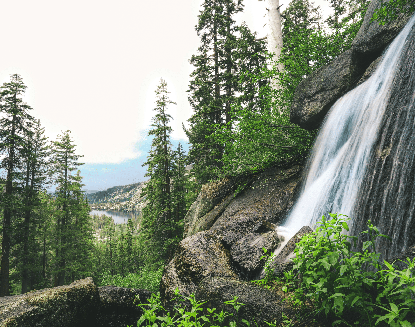
What Kind of Place is El Dorado National Forest?
El Dorado National Forest is a study in contrasts. The western foothills roll through chaparral and oak woodland, warm and golden for most of the year. Climb east, and the terrain sharpens into mixed conifer forest: ponderosa pine, incense cedar, white fir. The air cools noticeably.
Higher still, you enter the subalpine zone: granite outcrops, meadows carpeted with wildflowers, and the glittering lake basins of Desolation Wilderness and parts of the Mokelumne Wilderness.
Fast Facts About the Landscape:
- Elevation range: 1,000 feet to 10,000+ feet above sea level
- Total area: Around 600,000 acres through El Dorado, Amador, Alpine, and Placer counties in California
- Major water features: Mokelumne, Cosumnes, American, and Rubicon rivers
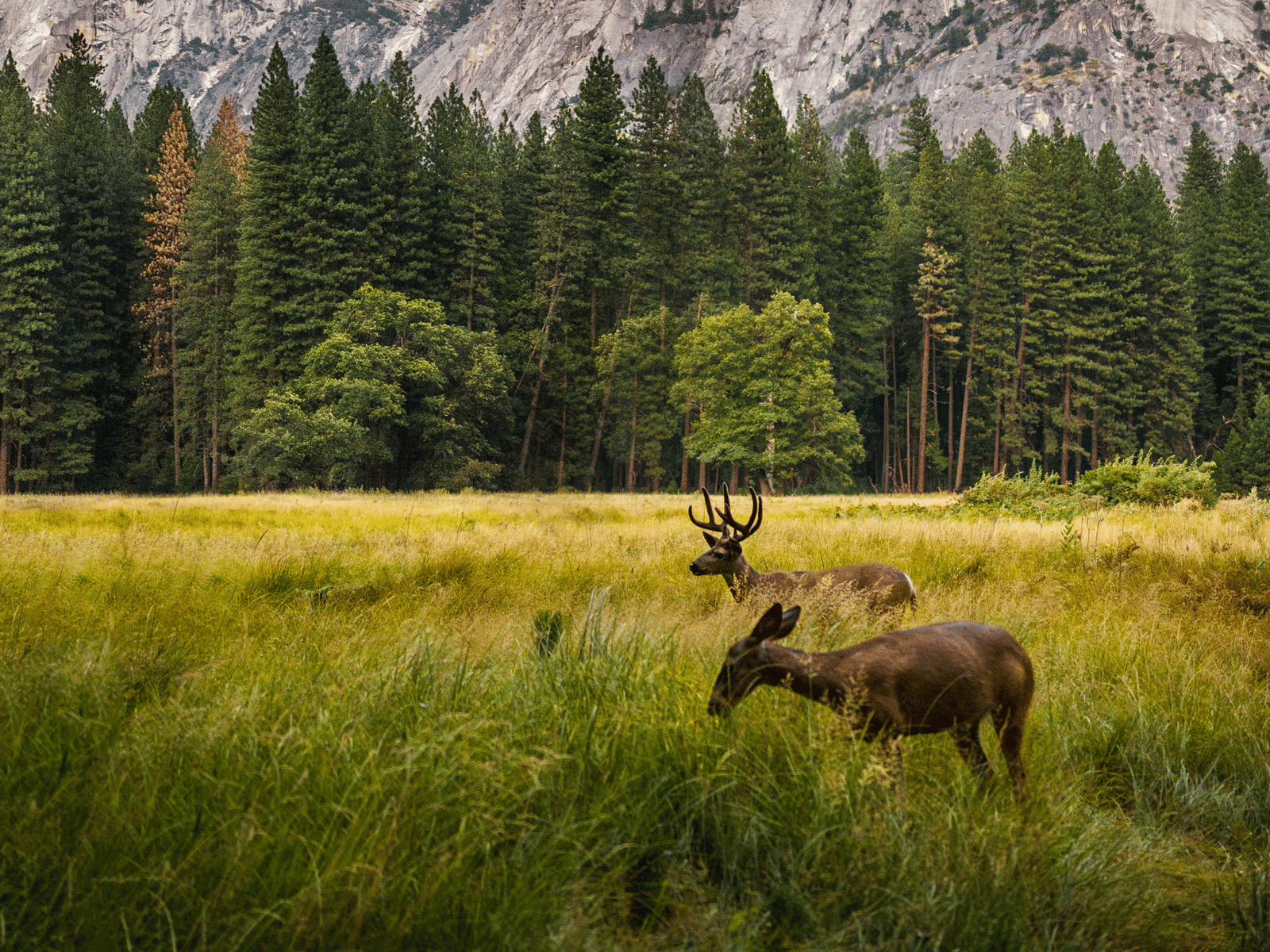
- Wildlife: Black bear, mule deer, great grey owl, mountain chickadee, coyotes, and bobcats
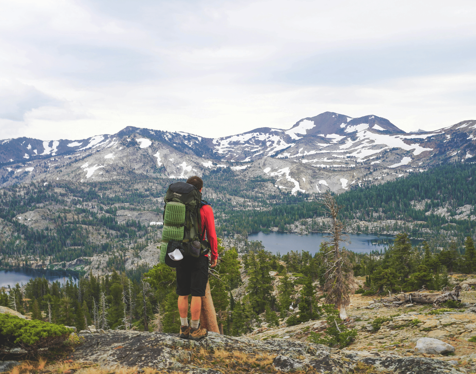
El Dorado National Forest Hiking: The Trails Worth Planning Around
Desolation Wilderness: Where the Real Wild Begins
Desolation Wilderness is a 64,000-acre federally protected landscape of granite peaks, glacially carved valleys, and numerous alpine lakes, all within El Dorado National Forest. It is one of the most heavily visited wilderness areas in the United States, and justifiably so - the scenery is extraordinary at every turn. A wilderness permit is required for all entry, both day use and overnight. The best time to visit is late June through September, depending on snowmelt.
Echo Lakes Trail: The Classic Sierra View
The Echo Lakes Trail is one of the most popular hikes in El Dorado National Forest, and it earns every visitor it draws. Starting from the Echo Chalet trailhead off Highway 50, this 5.3-mile out-and-back hike is along the northern shoreline of Lower Echo Lake.
The views are continuous: the trail climbs past mixed pine and juniper forest and wildflower meadows, surrounding you with granite cliffs and shimmering blue water below. A seasonal water taxi (approximately $20-$25 per person) runs from the far end of Lower Echo Lake to Upper Echo Lake, where hikers with permits can continue deeper into Desolation Wilderness toward Lake Aloha.

Lyons Creek Trailhead: Worth Every Scramble
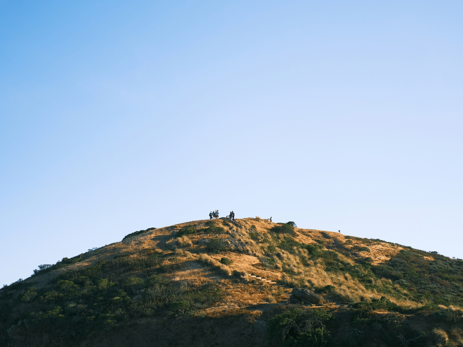
The Lyons Creek Trailhead is a well-loved entry point into some of California's most scenic high-country terrain. It sits at an elevation of 6,750 feet and climbs to around 7,200 feet over a 4-mile round trip, passing through open granite, mountain meadows, and conifer forests beneath the shadow of the Crystal Range.
For those continuing further, the trail eventually splits: the east-leading fork reaches Lake Sylvia at 8,050 feet, while the north fork leads to Lyons Lake at 8,400 feet, each about 5 miles from the trailhead. Both destinations require a wilderness permit for entry. The trail is particularly celebrated for its wildflower displays - early summer brings gorgeous blooms including lupines, orchids, and numerous species from the sunflower family.
Wrights Lake to Twin Lakes: Granite, Wildflowers, and a Hidden Waterfall
The hike from Wrights Lake to Twin Lakes is one of the most rewarding moderate trails in Eldorado National Forest, covering 5.2 miles with an elevation gain of 1,030 feet and typically taking between 2.5 and 3 hours to complete. The Twin Lakes Trailhead sits in a marshy floodplain at the base of the Crystal Range, an area teeming with wildflowers and tall grasses during the summer season.
The small trailhead parking lot is notoriously quick to fill on weekends, so hikers may need to park at the Wrights Lake area about a mile back and follow the lakeshore trail in. The trail itself offers a satisfying variety of terrain, as it begins by crossing a bridge over the inlet to Wrights Lake, passes through a small meadow and forest, and then transitions from wooded trail to open granite as it climbs into the wilderness.
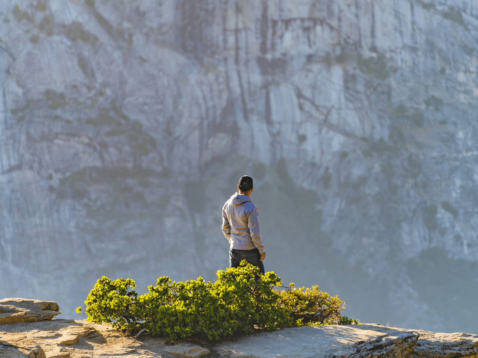

Carson Pass: High Sierra Without the Hard Work
Located above 8,500 feet above sea level, Carson Pass is the most accessible high-elevation trailhead in El Dorado National Forest. Park, step out, and walk straight into subalpine meadows. No lengthy approach, no warm-up hike required.
Routes from Carson Pass: Winnemucca Lake (2 miles round trip, easy, spectacular wildflowers in peak season); Round Top Lake (4 miles round trip, moderate, dramatic granite setting); Fourth of July Lake (8 miles round trip, moderate, peaceful and rarely crowded); Showers Lake via Pacific Crest Trail (ridge walks with panoramic views across the high Sierra).
Beyond the Trail: Other Ways to Explore El Dorado National Forest
In the El Dorado National Forest, hiking gets most of the attention, but the forest has a full outdoor menu.
- Fishing: The forest's rivers, lakes, and streams are stocked with trout. Union Valley Reservoir, Ice House Reservoir, and Loon Lake are popular destinations. Caples Lake along Highway 88 is a local favorite. A California fishing license is required.
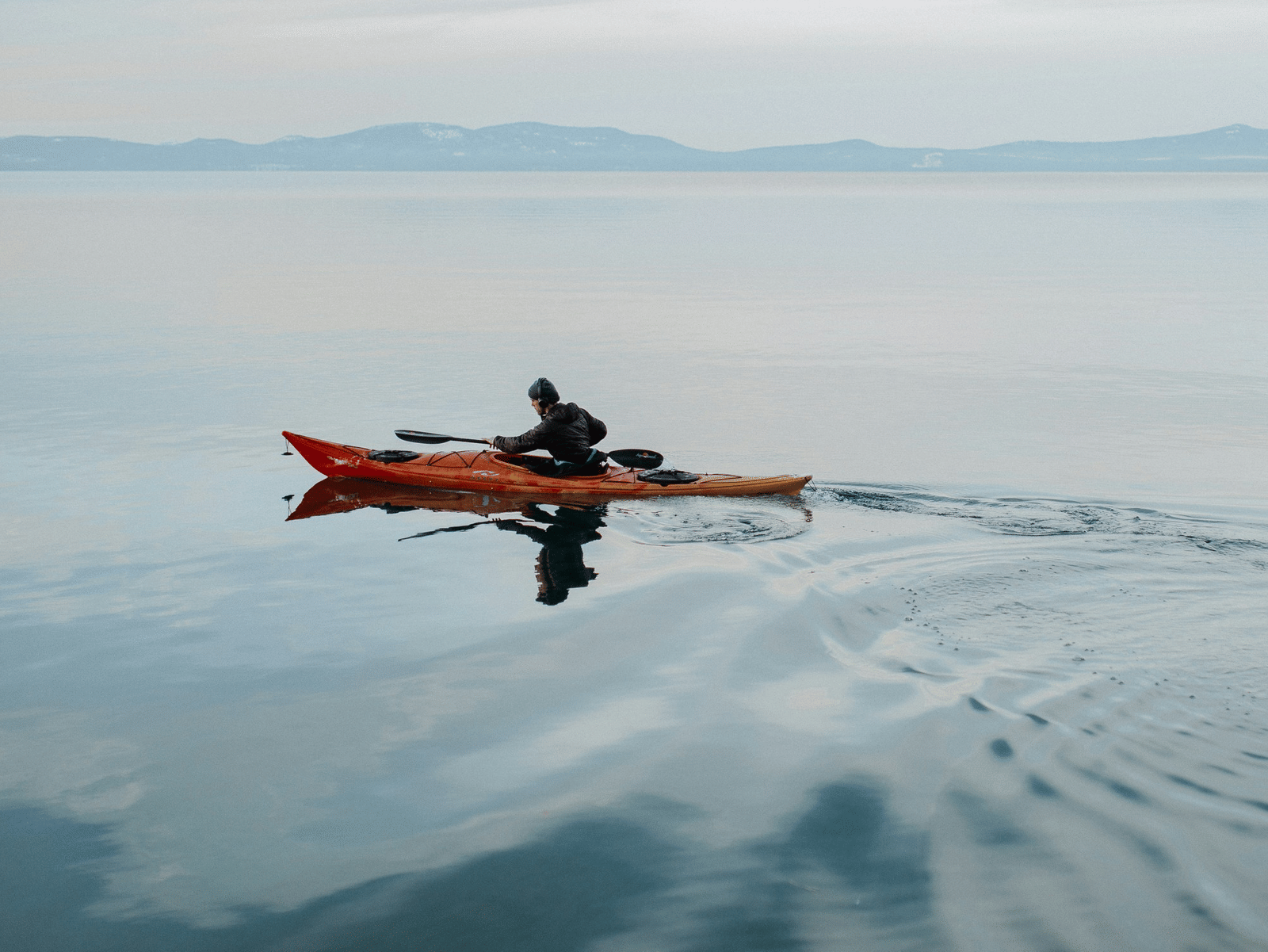
- Boating and Kayaking: Echo Lakes, Union Valley Reservoir, and Ice House Reservoir all welcome non-motorized watercraft. Kayaking the lakes at sunset is quietly spectacular. The Echo Lakes water taxi is a fun addition to any hiking day.
- OHV Trails: The Rubicon Trail runs 22 miles from Loon Lake to Lake Tahoe through rugged granite terrain and is widely considered one of the best off-highway vehicle routes in the country. The Elkins Flat OHV area near Placerville adds 65 miles of motorcycle-designated trails.

- Stargazing: About 1,200-1,500 feet above sea level and far from city light pollution, the night sky over El Dorado National Forest is extraordinary. Wrights Lake and Carson Pass are the finest spots: dark, open, and completely peaceful after sunset.
- Picnic Areas: The Crystal Basin Recreation Area along Ice House Road offers well-maintained picnic sites beside the reservoir, surrounded by tall conifers. Union Valley Reservoir and Caples Lake both have lakeside settings with easy road access.
- Winter Recreation: There are resorts located within the forest boundary that offer downhill skiing and snowboarding. Carson Pass is a popular snowshoeing destination throughout the winter season. A Sno-Park Pass is required for winter trailhead parking.
Plan it Right: Visitor Tips Before You Head Out
- Best months: June through September for most El Dorado National Forest hiking. Carson Pass offers a year-round option for snowshoeing and winter walks.
- Passes and fees: Most trailheads require a day-use fee or an Interagency Annual Pass (America the Beautiful). In winter, a separate Sno-Park Pass is required for snow-season parking; the annual pass does not cover this.
- Wilderness permits: Required for all entry into Desolation Wilderness (day use and overnight) and for overnight trips in Mokelumne Wilderness. Day-use permits for Desolation are free and self-issued at most trailheads. Overnight permits must be reserved separately.
- Weather: Mountain conditions change fast. Afternoon thunderstorms are common at elevation on otherwise sunny summer days. Start hikes early, be off exposed ridges by midday, and always carry an extra layer. Cell service is unreliable across most of the forest.


- Gear Checklist: Sturdy hiking footwear (granite trail surfaces demand supportive soles), layered clothing and a waterproof shell, sun protection (hat, sunglasses, and sunscreen), at least 2 liters of water per person, trail snacks and energy food, offline or paper map (do not rely on cell service), trekking poles for rocky and scrambling sections, and a fully charged phone or GPS device.
- Wildlife Safety: Keep pets on a leash at all times. Store food in bear-proof containers; black bears are present throughout the forest. Rattlesnakes are active April through October; stay on marked trails and watch your step. Keep a safe distance from all wildlife.
- Campfires: Not permitted in Desolation Wilderness, Mokelumne Wilderness, or along the Pacific Crest Trail. Portable propane stoves with an on/off valve are allowed with a valid campfire permit.
- Crowds: Echo Lakes and Twin Bridges trailheads fill quickly on summer weekends. Arrive before 8:00 AM or plan a weekday visit for a more comfortable experience.
Base Camp Done Right: Stay at Amador Hotel Part of Serenite Collection
After a day on granite peaks, beside rushing waterfalls, and under skies so blue they seem unreal, you need a place that matches the adventure. Amador Hotel at Serenite Collection in Pioneer, California, sits right along Highway 88, one of El Dorado National Forest's 2 great scenic corridors. That puts Carson Pass, Kirkwood, the Crystal Basin Recreation Area, and the forest's best trailheads all within easy reach.

The hotel (and the town) is named after José María Amador, a Californio rancher and miner who mined a nearby creek during the Gold Rush of 1848 and 1849, and has welcomed hikers, skiers, and outdoor enthusiasts ever since. Rooms include free high-speed Wi-Fi, flat-screen TVs, and private patios or balconies with forest and meadow views. King Room Deluxe options feature vaulted ceilings and fully equipped kitchenettes. The property offers a seasonal outdoor pool, dog-friendly suites with a dedicated dog run, ADA-accessible rooms with 32-inch-wide doorways, and free on-site parking for cars, bikes, and RVs. The entire property is 100% non-smoking.
Budget-friendly rates with no compromise on comfort. The whole family, 4-legged members included, is welcome.
FAQs
1. Where is the El Dorado National Forest located?
El Dorado National Forest spans 4 California counties: El Dorado, Amador, Alpine, and Placer. It is easily accessed via Highway 50 and Highway 88. It is roughly a 2-hour drive from the San Francisco Bay Area.
2. Do I need a permit for El Dorado National Forest hiking?
General trails within the forest require only a valid parking pass. However, permits are mandatory for all entry into Desolation Wilderness (day use and overnight) and for overnight camping in Mokelumne Wilderness. Day-use permits for Desolation are free and self-issued at most trailheads, and overnight permits must be reserved in advance.
3. What are the best trails for hiking in the El Dorado National Forest?
Top trails include the Echo Lakes Trail (moderate, 5.3 miles, with spectacular alpine scenery), Wrights Lake to Twin Lakes (moderate, with spectacular wildflowers), and the Carson Pass routes to Winnemucca and Round Top Lakes (easy to moderate, high-elevation access).
4. When is the best time to visit the El Dorado National Forest?
June through September is peak hiking season, when most trails are clear of snow. Spring (May through June) is ideal for waterfalls, and fall (September through October) offers quiet trails and golden foliage. Winter is excellent for snowshoeing and downhill skiing, though many high-elevation roads close due to snow.
5. What wildlife will I see in the El Dorado National Forest?
Black bears, mule deer, coyotes, and great grey owls are all present. Store food in bear-proof containers, stay on marked trails, and keep pets leashed at all times.
6. Are campfires allowed in the El Dorado National Forest?
Campfires are prohibited in Desolation Wilderness, Mokelumne Wilderness, and along the Pacific Crest Trail. In other areas of the forest, a valid campfire permit is required. Portable propane stoves with an on/off valve are permitted inside wilderness areas with a campfire permit.
7. What passes do I need to visit the El Dorado National Forest?
A day-use fee or an Interagency Annual Pass (America the Beautiful) is required at most trailheads. In winter, a separate Sno-Park Pass is required for snow-season trailhead parking and is not covered by the annual pass. Wilderness permits are required for the Desolation and Mokelumne Wilderness.
8. Where should I stay for an El Dorado National Forest hiking trip?
Amador Hotel at Serenite Collection in Pioneer, California, sits along Highway 88 near El Dorado National Forest. It offers dog-friendly rooms, a seasonal outdoor pool, private patios, ADA-accessible accommodations, and easy access to Carson Pass, Kirkwood, and the Crystal Basin. Visit theserenite.com/amador-hotel to book your stay.
Subscribe to Our Newsletter
Subscribe to unlock insider access, special promotions, and unforgettable retreats!
Continue your booking